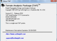
The app includes 27 different modules that enables you to make terrain studies.
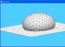
Interactive program for the modelling of liquid surfaces.
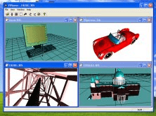
The Viewer for 3ds files with possibility to walk around objects.
It is a program to view on 3D digital elevation maps mixed with data acquired
V+ adds the ability to calculate the volumetric difference between two surfaces.